I was fortunate to have the opportunity to tag along to visit the island of Timor (both West and East) to observe the seismic deployment led by the University of Southern California to study “Transitions in the Banda Arc-Australia continental collision as a bridge to understanding mantle and lithospheric controls on surface tectonics.” You can read all about the installation and operation of the array at bandaarc.blogspot.com.
This is a really fascinating part of the world for many, many reasons but the one which fascinates me from a scientific point of view is that it is an active collision / accretion event on Australia’s doorstep. This is a case where active tectonics is influencing the state of the Australian plate very directly and one where the kinds of models we do with Underworld can be useful in disentangling the nature of the collision and the fate of the slab and the plate boundary as the collision progresses.
Images from a very inspiring couple of visits to the region.

Meghan Miller of USC spent many months working on the logistics of the seismic deployment in Indonesia, including many weeks living in Jakarta.


In late 2014, when all the permits were in place, we travelled to Kupang to discuss some potential sites. We visited the magnetic observatory in Kupang where there is a second world war bunker converted to a test ban monitoring station. For obvious reasons it is in a tamper-proof box and it is probably fortunate that we didn’t actually manage to get inside.

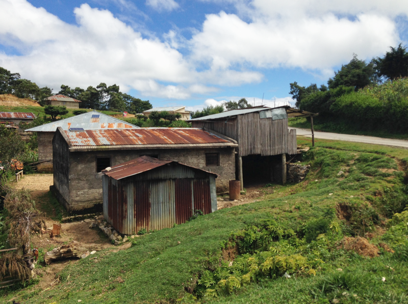
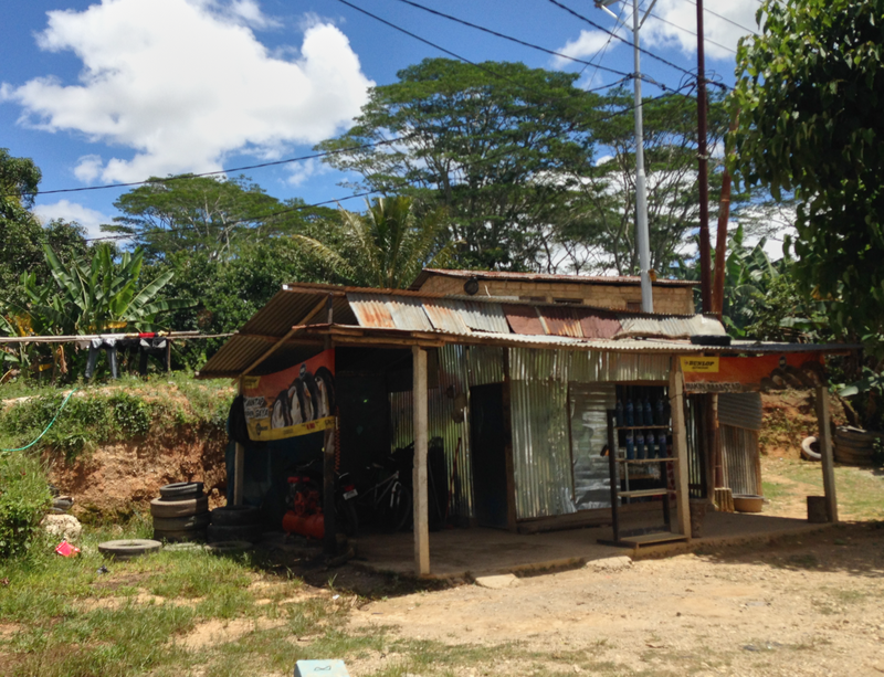
The infrastructure in West Timor is basic and sometimes baffling. Kupang is busy and chaotic and I was struck by the contrast with the smaller villages outside the town which were scrupulously tidy despite the very evident poverty.

Rote island is off the South Western tip of the Timor mainland and very remote by any standard. It’s just the spot to put an instrument or two. Searching for places to install seismometers is a lesson in compromise: away from people and noise but somewhere that somebody can keep an eye out to keep prying fingers and hungry animals at bay.
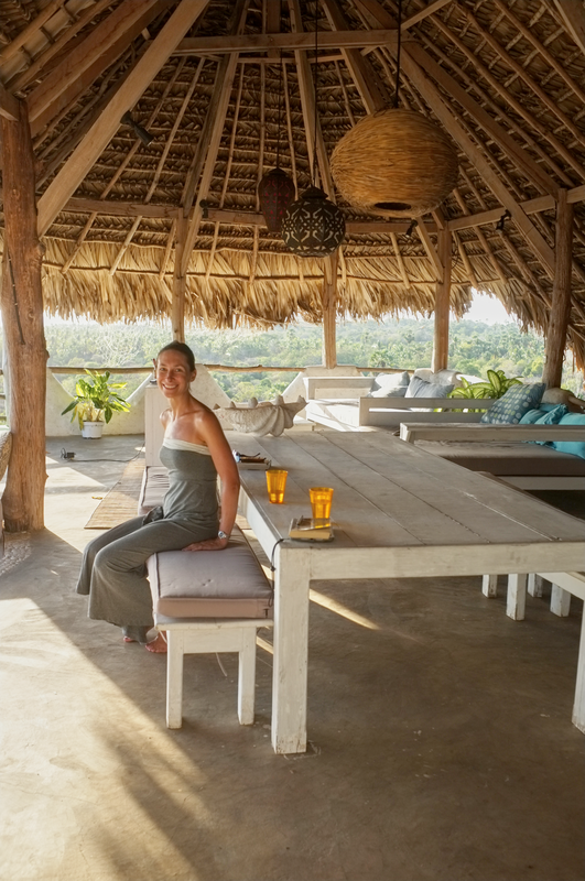
Rote has amazing surf and, consequently, plenty of infrastructure to cater for a large flux of alarminingly scraped-and-stitched tourists. Here the advanced party is busy testing some of the non-medical infrastructure.
Timor Leste
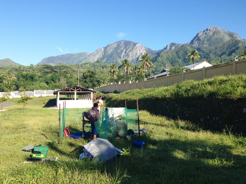
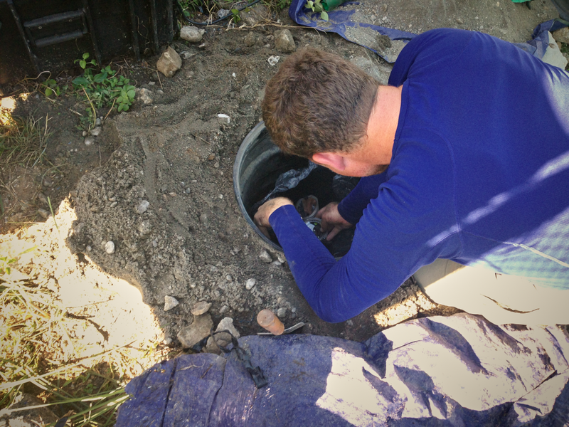
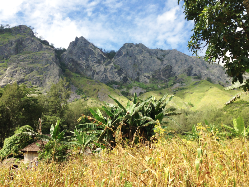
The network in Timor Leste was installed around a year ago (the advantages of an immature bureaucracy) and the team were collecting data and checking the instruments. Check bandaarc.blogspot.com for a rundown on the technical details and many wonderful images of the seismometer sites. The roads in TL are pretty rugged by anyone’s standard and transporting delicate machinery to such beautiful but isolated locations is always something of a worry (check out the road on the map above !) In these photos Leland O’Driscoll is preoccupied with the exhumation of the instrument in Same (in central TL) somewhat concerned that the original road trip might have been a bit hard on it.

On the way back to Dili from Same, the views of the topography along the main highway are perfectly spectacular with many opportunities to look down shear drops from the window of the rapidly moving car.


Two intense days of driving were beginning to wear on everyone and everything. The landcruiser was flashing oil-pressure warning signs as our driver raced up the hills. With a nod to the medieval surgeons, the driver decided that this meant we should bleed off some oil. Having pulled out the oil filter and run the engine for a while, and satisfied himself that the car was cured, he drove a few hundred metres before the engine threatened to die. We coasted to a nearby house and transfused a bottle or two of fresh oil.
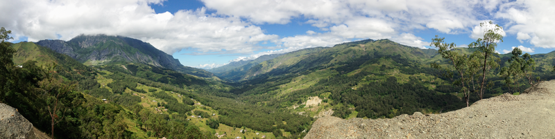
There are spectacular views as the road hugs the mountainsides and crosses the high passes between broad valleys.

It’s great to see that school is incredibly important here. Kids appear from apparent wilderness in their school uniform and make their way in great crowds along the roadsides to school each day.
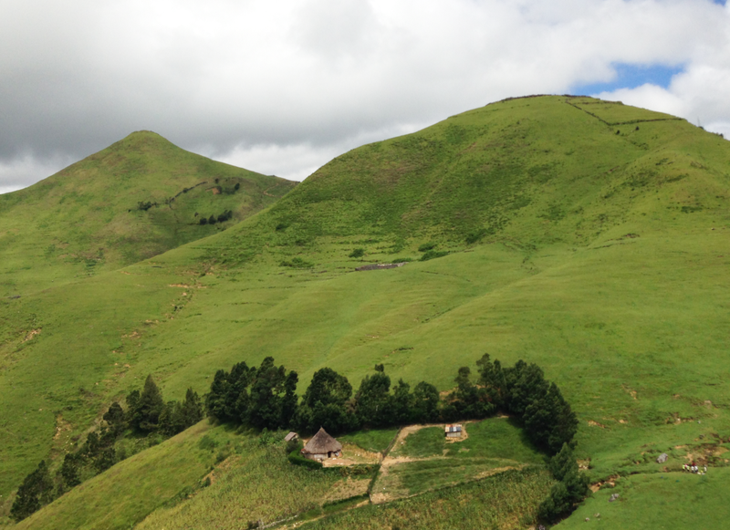
All along the way, life takes places in very small towns and villages that are barely discernable from the car even though there are dots on the map. It was very encouraging to see all the kids heading out to school and back but nailbiting to see how fast and close the trucks and cars are to the crowds of students.

As we finally came within sight of Dili at the top of a long descent, the car began to show signs of succumbing to abuse. The clutch began to malfunction and we coasted downhill for a few kilometres. Finally we ground to a halt in the middle of the street but by that stage we were only a few hundred metres to our destination. I was the most relieved because my flight was the following morning.
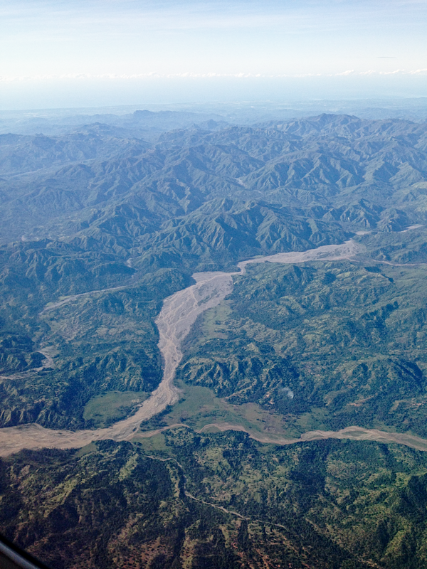
And I headed out to Darwin from Dili, flying over the Eastern tip of the island. The view was inspiring. Look at these valleys drowning in sediment ! Very interesting for me since I have been working on the Badlands code during the brief moments of quiet on this trip.
So, for the third time, let me plug the official site for this project and thank the USC team for their tolerance in letting me come along to observe and learn.